")
")
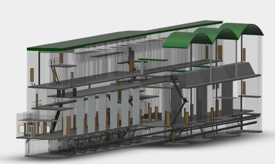
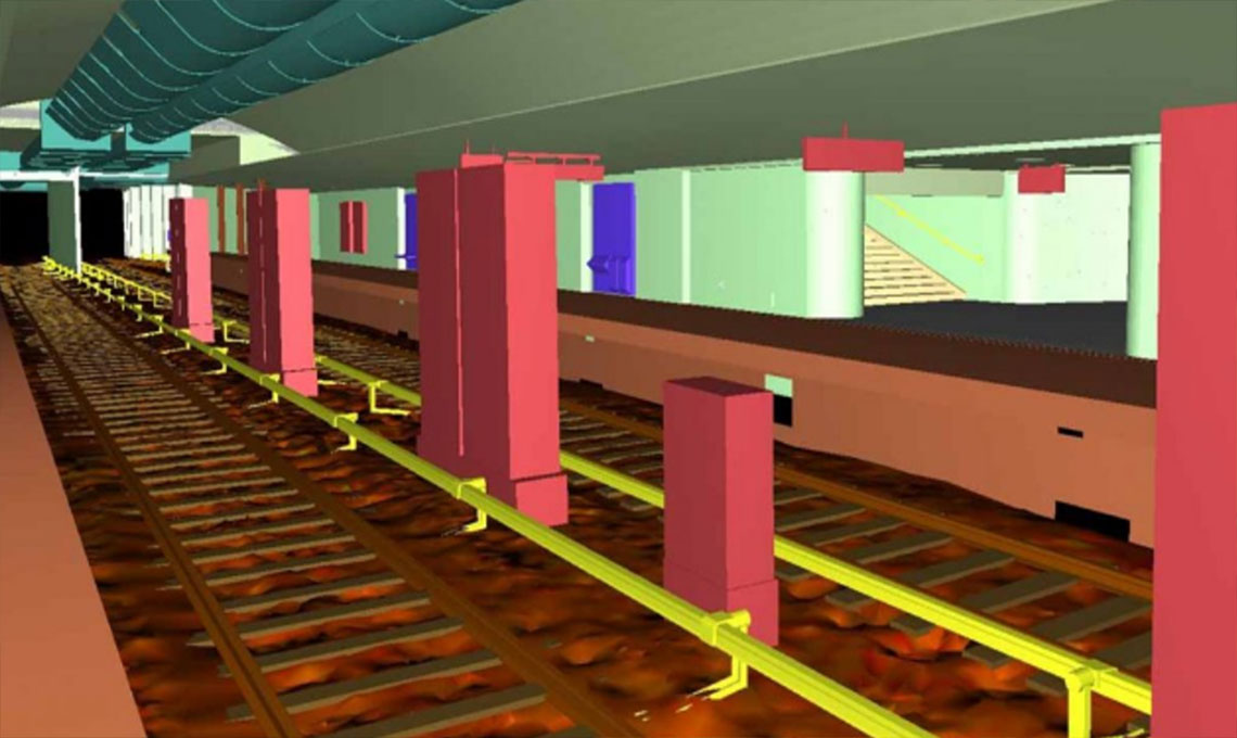
Lack of archived engineering documents is something very banal in urban projects too. Let us to be more optimistic than we usually are. Imagine there is some information. For sure they are 2D drawings and are not efficient and adoptable with new engineering approaches. Now we deal with 3D design. Age of 3D modeling technology is less than 30 year in the world. In the same way, age of environmental 3D laser scanning is less than 20 year. So based on what we usually do in today’s detail engineering design, we need to assess and study situation in a deferent way.
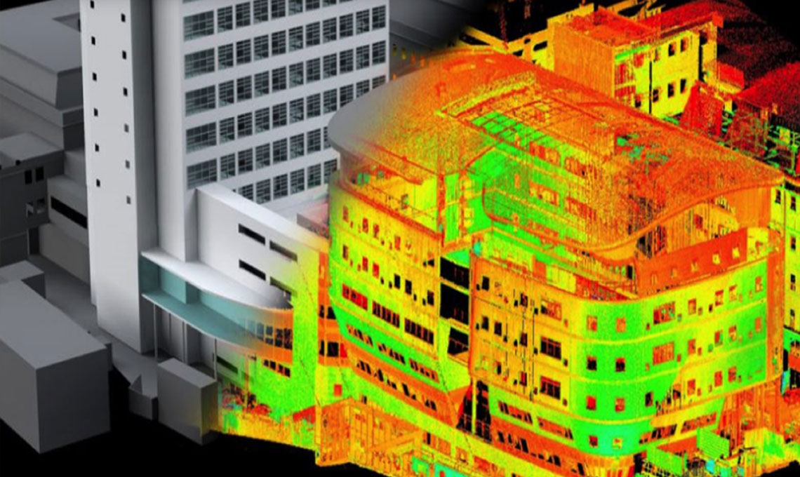
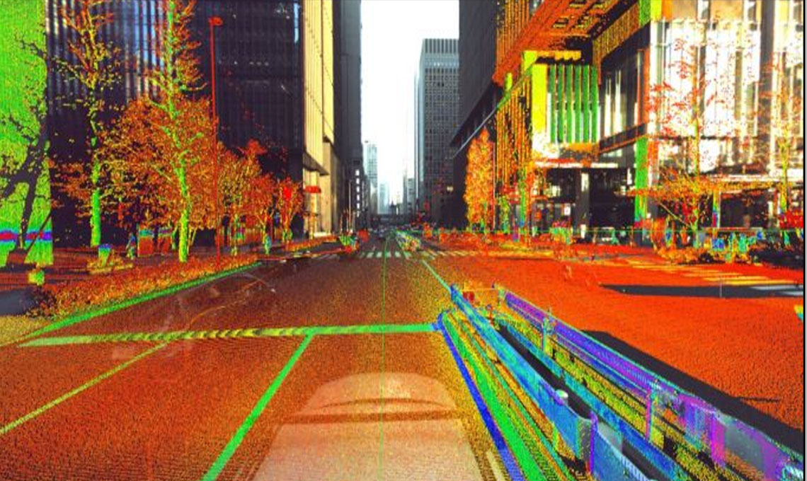
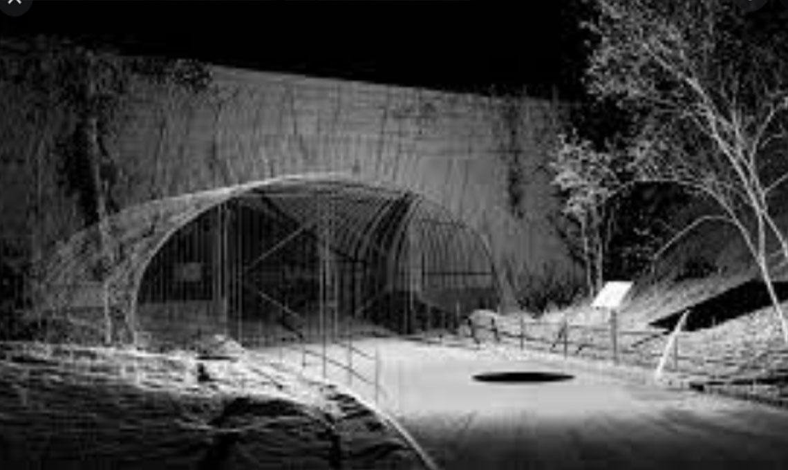
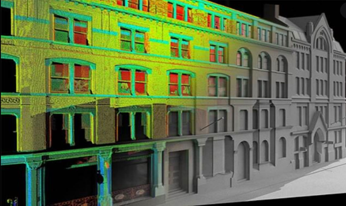
If we (as an urban projects expert) have an exhaustive look to the cities we realize there are plenty chaos in the cities infrastructure. Irregularities, disorders are obviously visible in every corner of Iranian cities. Certainly in the well-developed societies, cities' authorities are much more careful about bunch of urban projects. Those will be in the people's sight forever and would be judged by peoples and experts for decades. Aside from financial issues, public projects in the cities are important not only from engineering aspects including safety, easy exploitation ... but also they are much more significant from aesthetics perspectives. They should be accord with nearby infrastructures. To make it clear we are going to have a simple review over an overpass walkway’s design and installation challenges. The bridges have a simple superficial function, people use them to cross the streets. But in the public environment many other items should be foreseen along with that main function. A designer should perform his job as usual “Height, width, bridge capacity, stairs, lifts, load calculation …“ all are important. But on top of them, bridge's adaptability with other existing nearby items are crucial as well. What we need is just “Comparing offered 3D architectural model with existing area As-built point cloud data”. By implanting designed 3D model inside 3D point cloud as built model, final picture would come up. We would be able to see all beside interactions. 3D point cloud data which is a perfect product of terrestrial laser scanning would show us final situation. Then we can decide about everything;
From aesthetics perspectives; How much suitable is our offered plan? Or does it go with street view? Maybe some other idea exist and we can try others in the proposed position as well. Freely!! Do we have any clashes around the installation area that have not been predicted? Maybe we have to remove some clashed with green area, so we can check does it worth to cut some trees in order to locate offered idea or we can customize bridge’s location?
Through point cloud data we talk about very exact diminution. So we have an outstanding opportunity to prefabricate everything at shop. That way installation would be fast and easy. No need to make a big inconvenience in the public places. What would happens to existing public facilities, like electrical, driving signs, traffic lights … if we erect new item? Would they be modified because of the new arrangement?